

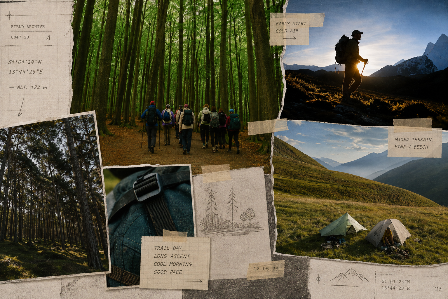
Jack Wolfskin’s 3,493-kilometre Wolf Trail joins existing paths from the Baltic to the Adriatic. The route creates a powerful new line—but mapping a trail is not the same as maintaining one.
A trail can be created without moving a stone.
Draw a line across an existing map. Give it a beginning, an end and a name. Divide it into sections, publish the GPX files and send hikers along it.
Jack Wolfskin has done exactly that.
The Wolf Trail runs approximately 3,493 kilometres from Hel on Poland’s Baltic coast to the Adriatic near Trieste. It crosses six countries and accumulates around 78,416 metres of ascent. Completing it is expected to take four to six months.
Its scale suggests construction.
Its reality is curation.
The route combines existing coastal paths, forest tracks, country roads and established long-distance trails. It uses sections of the E9, E1, Rothaarsteig, Via Alpina and E5 alongside smaller regional routes.
The ground was already there. So were much of the signage, bridges, huts, access agreements and maintenance work.
The new element is the line connecting them.
That distinction does not make the Wolf Trail insignificant.
Europe has an extraordinary walking network, but it rarely presents itself as one coherent thru-hiking system. Routes cross borders and change names. Marking conventions, camping laws and information platforms shift. A path can exist physically and remain difficult to imagine as one continuous journey.
The Wolf Trail makes that journey legible.
Its seven sections move from the Polish Baltic coast through northern Germany, heathland, low mountain ranges, wine country and the Black Forest. From Lake Constance, the route enters the Allgäu, South Tyrol, the Dolomites and the Julian Alps before descending toward the Adriatic.
Read as one line, these landscapes become a continental progression.
That sequence is the real design object.
Jack Wolfskin developed the route through maps, stage information, events and a long-distance hiking team. Ambassador hikers were sent out to test conditions and create the first continuous visual record. Outdooractive carries the digital route, while hiking platforms translate it into practical stages and logistics.
This work matters.
A GPX file is not physical infrastructure, but reliable information changes whether infrastructure can be used. Seven recognisable sections are easier to approach than 3,493 kilometres of disconnected possibilities. Transport, accommodation, resupply and elevation data allow hikers to enter the route without committing to an entire season.
The Wolf Trail is best understood as an editorial layer placed over existing geography.
It selects.
It connects.
It gives walkers a reason to continue after one named trail ends and another begins.
A company can also move faster than the organisations responsible for individual paths. It can commission photography, build an international platform and communicate one identity across six countries.
Baltic to Adriatic is more compelling than a folder containing dozens of regional trail descriptions.
That attention can produce real value.
More hikers may support guesthouses, campsites, huts and shops outside Europe’s familiar outdoor destinations. The route can direct movement toward working landscapes and lesser-known regions rather than another collection of saturated alpine icons.
It also packages European long-distance walking in the recognisable language of North American thru-hiking.
The Appalachian Trail and Pacific Crest Trail are more than coordinates. They have names, symbols, communities and shared rituals. Europe possesses routes of comparable scale, but its networks are older, more fragmented and embedded in regional walking traditions.
Jack Wolfskin is not inventing European long-distance hiking.
It is giving it a new narrative structure.
The tension lies in who receives credit.
The Wolf Trail passes over paths maintained by local associations, alpine clubs, municipalities, land managers and volunteers. They clear vegetation, repaint markings, repair drainage, negotiate diversions and keep access open after weather and forestry work.
This labour rarely produces campaign imagery.
The brand arrives later and supplies the line, name and audience.
The problem is not that Jack Wolfskin benefits commercially. The project is openly connected to its products, events and partners. The problem begins when visibility is confused with authorship.
Jack Wolfskin built the Wolf Trail as a route concept.
It did not build most of the trails beneath it.
The practical experience will also be less seamless than the map suggests. Northern sections are relatively flat and regularly pass through settlements. Later stages reach alpine terrain where snow, exposure and weather can change the route completely.
Four to six months means crossing seasons, different accommodation systems and changing camping laws. Where the Wolf Trail follows an established path, signs may carry the identity of that route rather than the wolf. Between systems, hikers depend on downloaded mapping and the accuracy of the curated line.
A branded GPX creates continuity on a screen before it exists in the landscape.
That is not a failure.
It is a responsibility.
A route of this length changes constantly. Forestry closes tracks. Storms damage paths. Huts alter opening periods. Access agreements are revised. A credible long-distance trail needs current data and lasting relationships with the organisations that know each section.
The decisive question is therefore not whether a brand may name a route.
It is what happens after the launch.
Will the maps remain current after the ambassador hikes end? Are regional maintainers credited and supported? Can walkers report problems? Will the route survive a change in marketing strategy?
The strongest version of the Wolf Trail would use brand attention to reinforce the network beneath it through shared data, visible attribution and long-term support.
The weakest would remain a campaign laid over other people’s work.
The current project sits between those possibilities.
Its maps and stage structure create genuine utility. The line from Hel to Trieste can change how hikers imagine central Europe. But a trail earns permanence through continued use, maintenance and local participation—not through naming alone.
The brand can begin the story.
It cannot own what the walking makes of it.